Summer Prospecting in Colorado: Tips for the 2026 Season
The window is shorter than most people think. In Colorado’s high country — above 10,000 feet, where much of the best mineralized ground sits — summer doesn’t fully arrive until late June, and it starts threatening to leave again in early September. That’s roughly 10 weeks of reliable access to the kind of terrain that holds gold, gemstones, and mineral specimens worth getting excited about.
Ten weeks is enough. But only if you use them well.
Here’s how to approach the 2026 Colorado prospecting season: when to go, where to focus, how to handle the conditions, and what to have sorted out before you leave the pavement behind.
Timing: When Summer Actually Arrives in the High Country
The problem with Colorado’s high-altitude prospecting areas isn’t just snow on the ground — it’s snowmelt in the streams. Most significant gold-bearing drainages run dangerously high through May and into June, fed by the previous winter’s snowpack. Access roads to many mining districts are still snowpacked or too muddy to travel safely until late May or June at lower elevations, and often July at higher ones.
The Seasonal Calendar
Late May to Mid-June: Lower elevation sites (below 9,000 feet) become accessible. Focus on foothills drainages like the South Platte and lower Clear Creek systems. Streams are still high from runoff — excellent for finding gold that’s been moved by high water, but challenging for in-stream work.
Mid-June to Early July: The bulk of productive mountain areas open up. Roads to most national forest and BLM areas are accessible with appropriate vehicles. Streams are dropping but still carrying significant flow. This is prime sluicing time on main drainages.
July through August: Peak season. Full access to alpine collecting areas including Mount Antero, the upper San Juans, and high-elevation lode prospects. Weather windows are best in early July; afternoon thunderstorm frequency increases through late July and August.
September: The final push. High-altitude areas begin to feel the approach of fall — the first snow can come to the peaks in early September. The best days of the month are exceptional; the worst can shut down operations entirely. Work early, watch the sky, and be flexible.
The High-Water Dividend
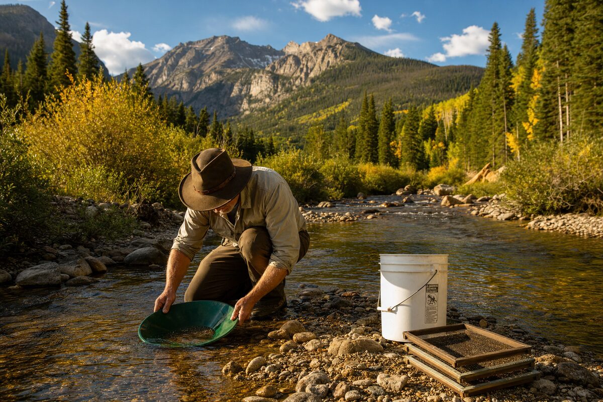
One of the most productive strategies in Colorado placer prospecting is to target the areas just downstream of where high spring water has been working. Heavy runoff moves gold that’s been sitting in stable deposits and redistributes it into new locations. The best time to work any given drainage is the first few weeks after water levels drop to workable conditions — the material has been freshly sorted and gold is sitting in predictable locations.
Watch gauging stations (available on the USGS National Water Information System website) for streams you plan to work. A sharp drop in flow rate after peak runoff is your signal to head to the field.
Where to Focus in 2026
Placer Gold Priorities
Clear Creek County remains the most accessible placer-gold district in Colorado, with documented production and active prospecting activity throughout the drainage. The Chicago Creek and Soda Creek tributaries offer alternatives to the well-worked main stem.
South Park and Park County — The South Platte headwaters area has extensive placer potential, and the surrounding hills hosted numerous gold and silver lode mines whose material has been eroding into the drainages for over a century. Less visited than Clear Creek, which means less pressure on productive spots.
Summit County — Breckenridge-area drainages on the Blue River and its tributaries have historic placer production. Access is complicated by the popular tourist destination status of the town, but working away from the obvious locations pays dividends.
Lode Prospects
Summer is also the season for getting into the hills to examine lode exposures — the hardrock veins and mineralized zones that require some walking and scrambling to evaluate.
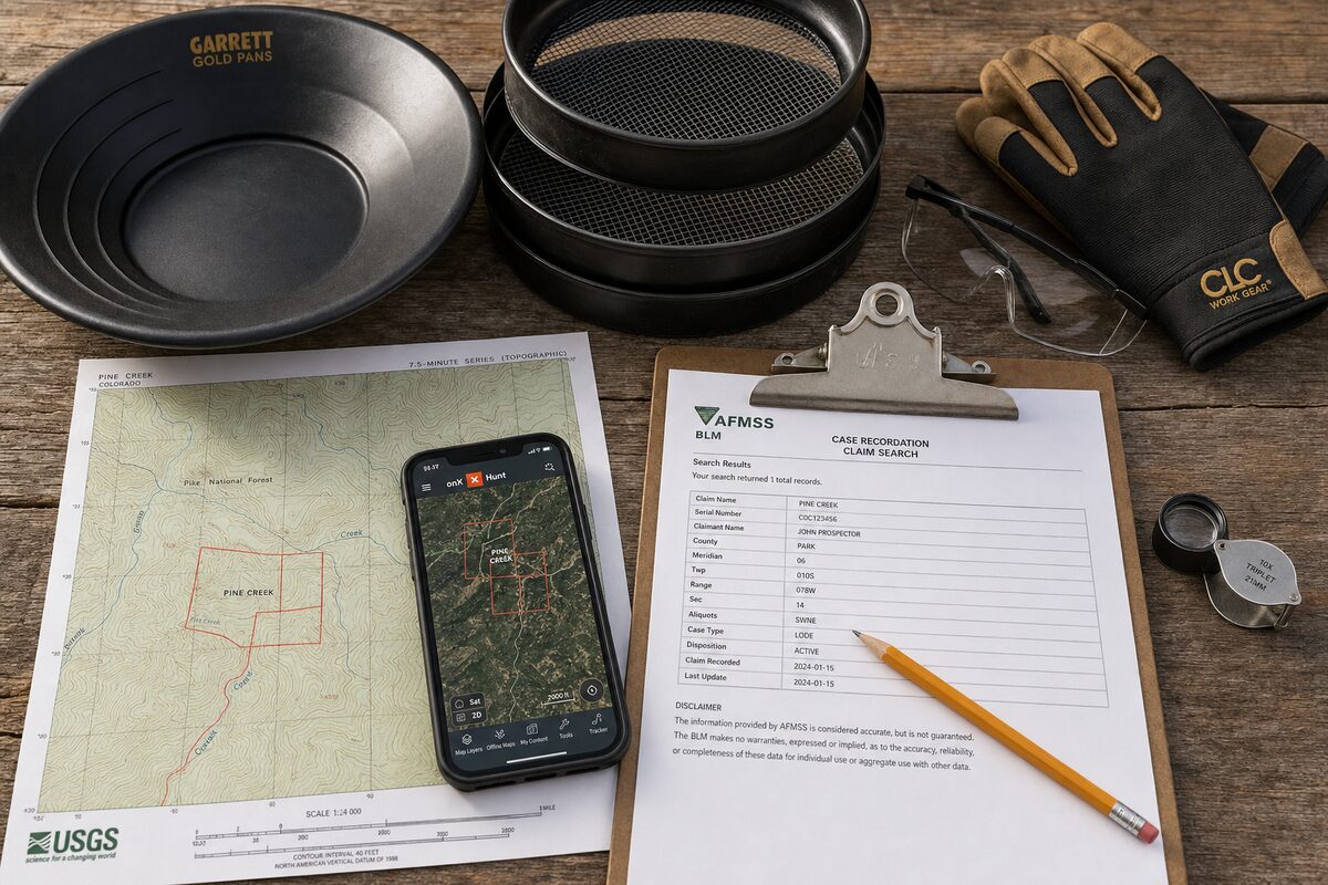
Focus on areas with documented mineralization that haven’t been exhausted. The Colorado Geological Survey’s mining district databases and the USGS mineral resource data system are free, publicly accessible resources that identify productive geological trends. Comparing CGS district maps to current BLM claim records in LR2000 identifies areas with historic production and no currently active claims — the starting point for new lode prospecting.
Mineral Collecting Highlights
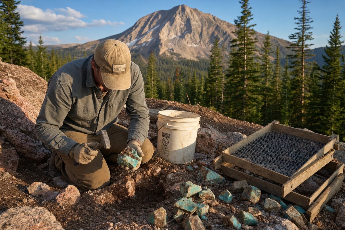
Mount Antero (Chaffee County) — Aquamarine, phenakite, and smoky quartz; accessible July through mid-September.
Lake George area (Park County) — Amazonite and smoky quartz from Pikes Peak granite pegmatites; accessible all summer.
Creede area (Mineral County) — Exceptional mineral specimens from a world-class silver district; some localities on BLM land.
Crystal Hill area (Fremont County) — Quartz crystals and associated minerals from pegmatites near Canon City.
Weather: The Variable That Runs the Schedule
Colorado mountain weather is not a background concern — it’s the central organizing principle of every prospecting day. The patterns are predictable in general terms; the specifics are not.
The Afternoon Storm Rule
Every experienced Colorado outdoorsperson lives by this: be off exposed terrain and ideally under tree cover or in a vehicle by early afternoon. Thunderstorm development is typically visible by noon, with cell activity intensifying between 1–3 PM on most summer days during July and August.
Lightning at altitude is not a dramatic possibility — it’s a near-daily fact. A creek bed or open hillside above treeline is an extremely dangerous place during a storm. Take this seriously.
Practical scheduling: Start early. Leave the trailhead or vehicle at first light. Do your most productive work in the morning hours. Begin moving toward lower, protected terrain by 11 AM on days when clouds are building. A full morning’s work in good weather is almost always more productive than a full day that includes an hour of terrified sheltering and scrambling to lower ground.
Temperature and Exposure
Summer temperatures above 10,000 feet are far cooler than Denver or the Front Range. A sunny morning at 12,000 feet can be genuinely cold — especially if you’re wet from creek work. Always carry a mid-layer and a windproof outer shell. Hypothermia is a real risk in wet and windy conditions even when daytime temperatures look benign on a weather forecast.
Sun Exposure
At Colorado altitudes, UV radiation is significantly higher than at sea level. Sun protection — high-SPF sunscreen, a hat with full brim, and sun-protective clothing — is mandatory, not optional. The reflective surface of a creek or wet sand amplifies exposure. Serious sunburn happens fast.
Vehicle and Access Considerations
Many of Colorado’s best prospecting areas require driving roads that are challenging or impassable without appropriate vehicles.
4WD vs. High-Clearance vs. Passenger Vehicles
Passenger vehicle access: Most highway-adjacent placer areas and many forest road destinations are accessible. Don’t underestimate what a careful driver in a standard vehicle can reach on a dry forest road.
High-clearance strongly recommended: Any road with significant rocky stretches, water crossings, or rough surface. Most National Forest two-tracks fall here.
True 4WD required: Roads above 11,000 feet to areas like the upper San Juan mining districts, Alpine Loop sections, and approaches to high-altitude gem localities. Do not attempt these routes in anything that can’t engage low-range 4WD.
Check road conditions with the relevant Ranger District before heading out. Spring damage to forest roads is often not repaired until July, and a road that was passable in August may have washed out sections by September.
Tire and Equipment Prep
Before heading into remote areas: - Check tire condition and pressure (tires should be in good shape, not at end-of-life) - Carry a full-size spare, not a donut - Bring a basic recovery kit: traction boards or chains, tow strap, basic tools - Know where the nearest cell service is and carry a locator beacon for serious remote work
Permits and Paperwork: Don’t Leave Without Them
Summer is peak season for enforcement activity by BLM and Forest Service staff. Officers check permits, investigate unpermitted motorized use, and look for dredge operations without required DRMS permits.
Get your paperwork in order before the season:
- DRMS notices and permits for any mechanized surface disturbance
- Annual maintenance fee paid (due before September 1) for any existing claims
- Forest Service permits if required for your specific activity
- Vehicle passes for fee areas (America the Beautiful Pass or daily fee)
It’s also worth carrying copies of your claim certificates in the field — if your activity is questioned, being able to demonstrate valid claim ownership on the spot prevents problems from escalating.
What to Do When You Find Something Good
A productive summer day can yield more questions than answers: Is this gold or pyrite? What’s this silver-colored mineral? Is there a bigger deposit above the placer I’m working?
Take good notes and good samples. Photograph in-place occurrences before you collect them. Sample methodically — label your samples with location, date, and basic description. A sample that isn’t labeled is a sample that can’t tell you anything useful later.
If you find ground worth protecting, don’t delay the staking process. The 90-day clock for BLM and county filing starts the moment you stake, so complete your physical location work, get your paperwork filed, and pay your first maintenance fee before the September 1 deadline arrives.
Summer in Colorado is short, but the ground is wide open and the geology is some of the richest on the continent. Plan your season now, get the permits sorted, and be ready to move when the creeks drop.
Ready to dig deeper? Our prospecting guide covers locations, techniques, and seasonal timing for Colorado’s best districts. And when you find ground worth keeping, the mining claims page walks you through filing step by step.
The season is coming. Don’t wait for it to find you.