
Virgin Ground or Disturbed Ground?
Separate natural deposits from dredge tailings, mine waste, road fill, hydraulic cuts, reclaimed land, and old workings.
By the end of this module
- Recognize common mining disturbance
- Read soil and vegetation discontinuities
- Use historical imagery before calling ground virgin
You find a gravel bar tucked behind a stand of willows, no visible tailings, no roads nearby, nothing on the surface hinting that anyone’s ever touched it. Your buddy declares it “virgin ground.” Maybe. But Colorado has been mined hard for over 165 years, and a lot of that history doesn’t show up as an obvious pile of rusty rock waiting to be spotted from twenty feet away. This module is about reading the actual physical evidence of disturbance — and about being honest with yourself about what “virgin” really means.
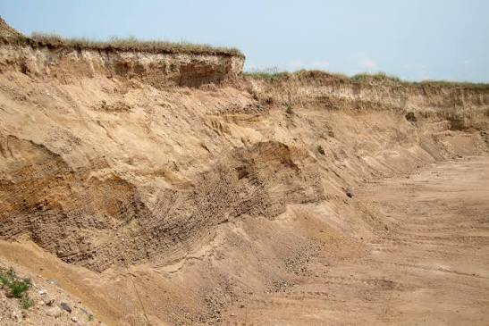
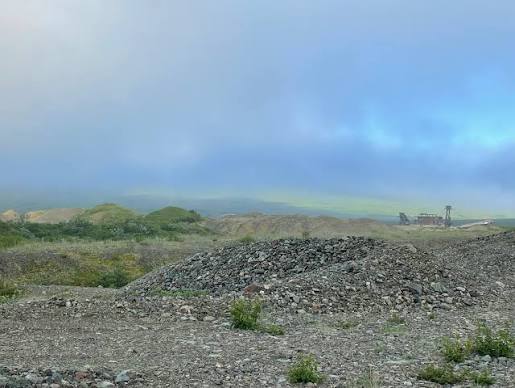
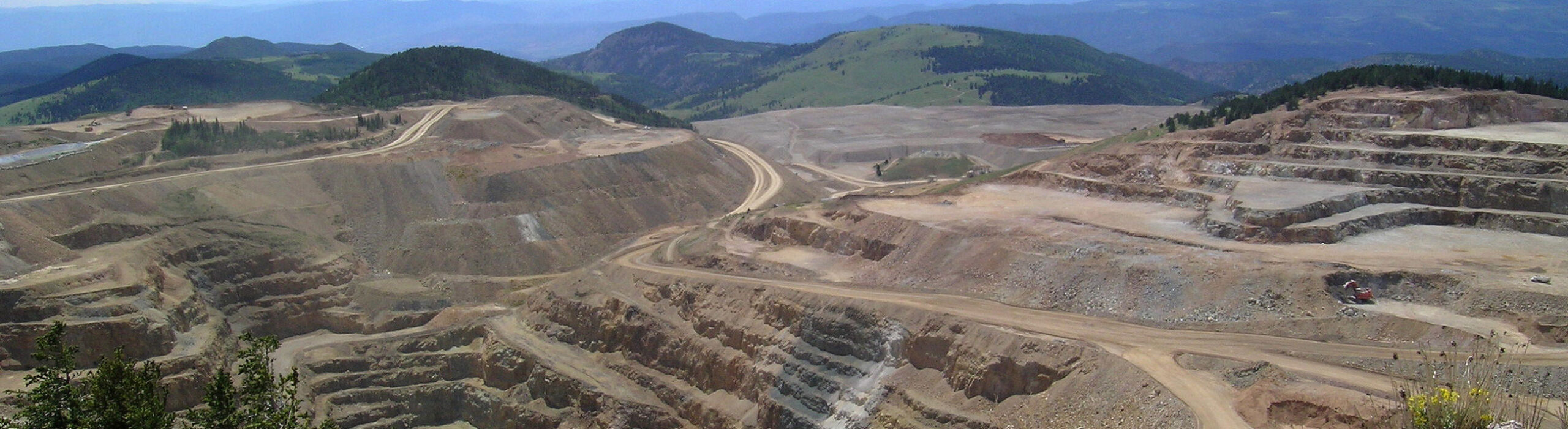
“Virgin Ground” Is Jargon, Not a Classification
Here’s the caveat this entire module is built around: "virgin ground” is a working prospector’s term, not a formal geologic or legal term. A widely used prospecting glossary defines it as “that which has never been mined before by anyone” — as in “virgin bed,” “virgin placer,” “virgin streambed” (LVGPAA Glossary of Prospecting Terms).
That definition sounds clean until you notice its own built-in ambiguity: a section of streambed that was mined decades ago and then completely reworked by a later flood could, by that same glossary definition, legitimately be called “virgin” again — even though the same material was previously mined and redeposited. The term describes an appearance and a belief, not a verified fact. Never use “virgin ground” to imply confirmed legal or unclaimed status, and never treat it as a geologic classification — it’s neither. It’s informal shorthand for “I don’t see evidence this has been worked,” which is a very different, much weaker claim.
Field Clues: Disturbed vs. Natural Ground
The good news is that most disturbance leaves physical fingerprints, once you know what to look for.
Mine tailings (dry/hardrock)
Look for angular, unsorted waste rock in unnatural, often conical or fan-shaped piles, typically right next to shafts, adits, or old mill sites. Discoloration — oxidized, rusty staining — from exposed sulfide minerals is a common giveaway.
Dredge tailings
Dredge tailings vary by the type of dredge that made them:
| Dredge type | Tailings pattern |
|---|---|
| Bucket-line dredge | Arc-shaped, zig-zag piles, often clearly visible in aerial photos, sometimes with associated “spud” anchor points or dredge remnants nearby |
| Dragline dredge | Large, heavily vegetated, silt-rich, hummocky piles with side slopes at the angle of repose, often spaced in a repeating pattern roughly 15 feet apart at their peaks |
(Oregon State University archaeological field guide)
Key distinguishing test versus a natural point/gravel bar: dredge tailings sit at a noticeably higher angle of repose, are unsorted (all grain sizes jumbled together) rather than water-stratified, and may show orange staining from mineral exposure. A natural point bar, by contrast, shows clear water-sorted stratification — exactly the sorting-and-roundness read you practiced in Module 4.
Hydraulic mining workings and tailings
Watch for large-scale artificial cuts, exposed bedrock faces, monitor-nozzle blast scars, and downstream tailings fans with a distinctly high percentage of white vein quartz pebbles compared to natural background alluvium. Quartz-vein material from lode sources tends to be over-represented in reworked hydraulic tailings relative to what you’d see in undisturbed sediment nearby — a documented pattern from hydraulic-mining studies that generalizes well as a field concept even outside the specific study areas it came from (USGS Open-File Report 2002 on placer gold dredge tailings; academic study on hydraulic mining sediment, University of South Carolina).
Road fill, reclaimed land, and other disturbed ground
- Road fill and cut slopes show artificially uniform grading, often with imported material that doesn’t match local geology, and abrupt breaks in the natural contour.
- Reclaimed mined land (post-SMCRA-era reclamation) is graded to blend with surrounding terrain, but should still be treated as potentially unstable fill subject to ongoing settlement, per reclamation engineering guidance (Powell River Project — Foundations for Housing on Reclaimed Mined Lands).
- Natural benches (fluvial terraces or structural benches formed by differential erosion, as in Module 5) are an entirely natural landform and shouldn’t be confused with mining benches — the step-like excavated ledges cut into open-pit walls. Both share the word “bench,” but their origins are completely different (Wikipedia — Bench (geology)).
Why “No Visible Tailings” Isn’t Proof of Anything
Here’s the uncomfortable truth this module has to teach: absence of visible disturbance is weak evidence, not strong evidence. Colorado’s mining history stretches back to 1858, and 165-plus years is more than enough time for vegetation regrowth, erosion, and natural or engineered reclamation to erase surface signs of old workings. USGS lidar-based studies have shown that many historic mining features can only be reliably identified using specialized remote-sensing tools — not by walking the ground and looking (USFS — Using Lidar to Identify Historic Mining Features).
Treat “Virgin” as a Probability, Not a Verdict
Given all of the above, the right mental model is:
- “Virgin ground” is a probabilistic field assessment, built from the absence of visible tailings, the absence of documented historic claims on the maps you’ve checked, and natural stratification in place — never a guarantee.
- Field observation alone is necessary but not sufficient. Module 8’s map and records research (topo map disturbance symbols, historic claim data, aerial/lidar imagery where available) is the required complement, not an optional extra.
- The more boxes you check — no surface tailings, no claim history on record, natural sorting and structure in the ground itself, no mining-era place names or old workings nearby — the more confidence you can reasonably have. None of those checks, individually or together, constitute legal proof.
Myth Check
“No tailings pile in sight” does not mean unworked, unclaimed, or legally open ground. It means exactly what it says: no visible tailings pile. Historic hydraulic operations, small-scale hand workings, and reworked placer ground can all leave a site looking clean to the naked eye while still being previously mined, still under an active claim, or both.
Common Mistakes
- Declaring ground “virgin” from a single glance. Combine the field clues above with the map-based research covered in Module 8 before drawing any conclusion.
- Confusing a natural bench/terrace with an artificial mining bench. Check for water-sorted stratification (natural) versus excavated, uniform ledge cuts (artificial).
- Assuming heavy vegetation rules out old workings. Vegetation regrowth over decades is exactly what makes old workings hard to spot — it’s evidence of time passing, not evidence of no disturbance.
- Treating “virgin” as a legal or scientific claim in conversation or in writing. It’s prospector jargon. Don’t let it slip into anything that implies confirmed unclaimed or unworked status.
Field Exercise
At a candidate site, walk a systematic 50-meter loop and note anything from this checklist:
- [ ] Angular, unsorted waste rock piles (dry tailings)
- [ ] Arc-shaped or hummocky tailings patterns (dredge)
- [ ] Artificial cuts, blast scars, or unusually high quartz-pebble content downstream
- [ ] Uniform, imported-looking fill or abrupt contour breaks (road/reclamation)
- [ ] Old shafts, adits, or mill foundations (do not enter or approach unstable openings)
- [ ] Rusty/oxidized staining inconsistent with natural weathering
Then cross-reference with Module 8’s map tools before deciding how confident you are calling the site lightly disturbed versus previously worked.
Sources and Further Reading
- LVGPAA Glossary of Prospecting Terms
- Oregon State University — Analysis of Dredge Tailings Pile Patterns
- USGS Open-File Report 2002 — Mercury geochemistry of placer gold dredge tailings
- University of South Carolina — quartz in hydraulic mining sediment study
- USFS — Using Lidar to Identify Historic Mining Features
- Powell River Project — Foundations for Housing on Reclaimed Mined Lands
- Wikipedia — Bench (geology)